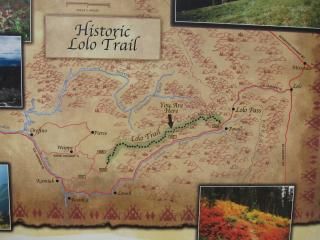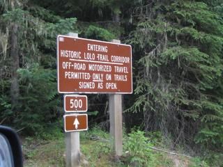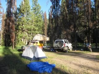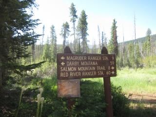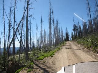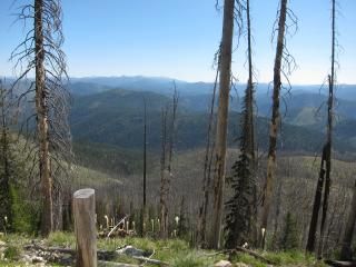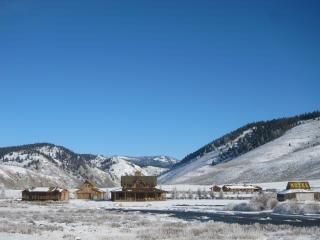
- Location
- Idaho!
^Hahaha!
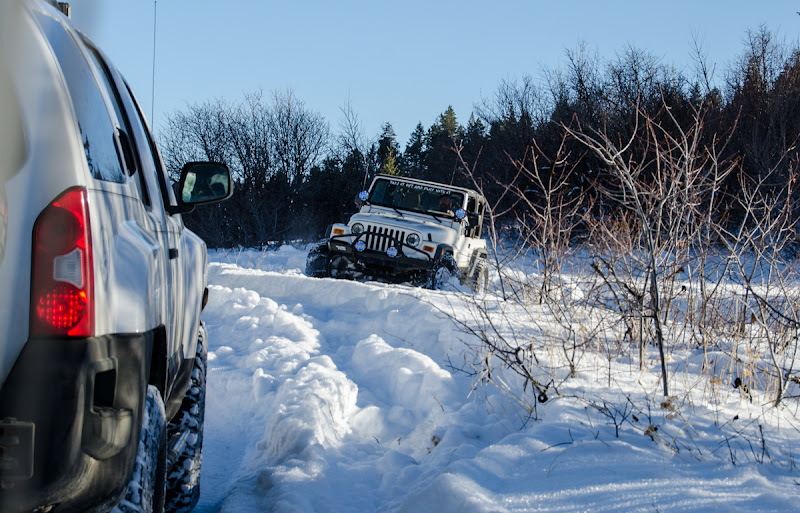
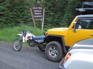
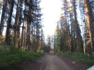
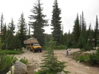
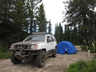
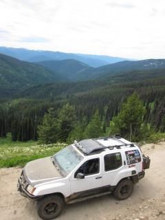
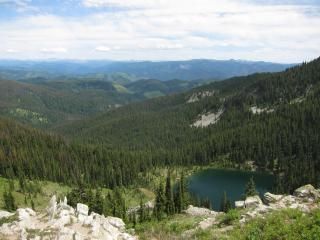
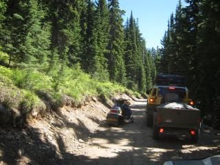
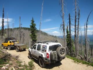
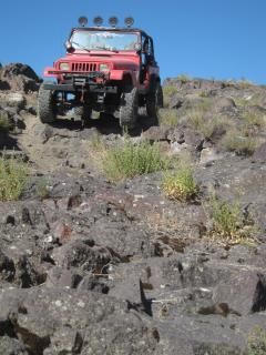
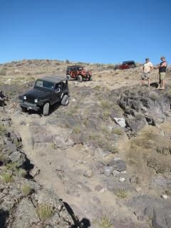
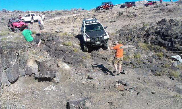
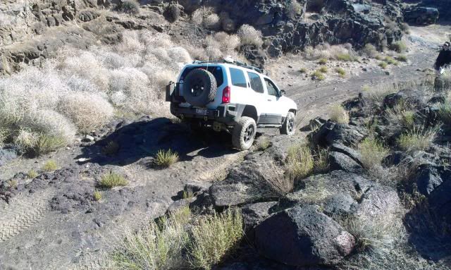
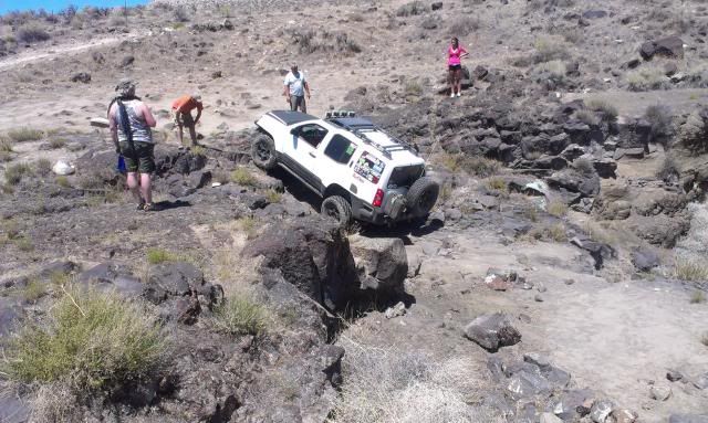
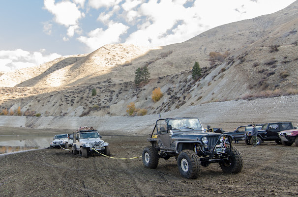
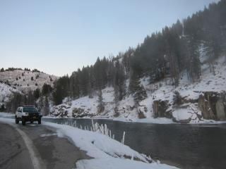
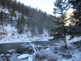
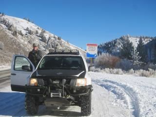
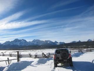
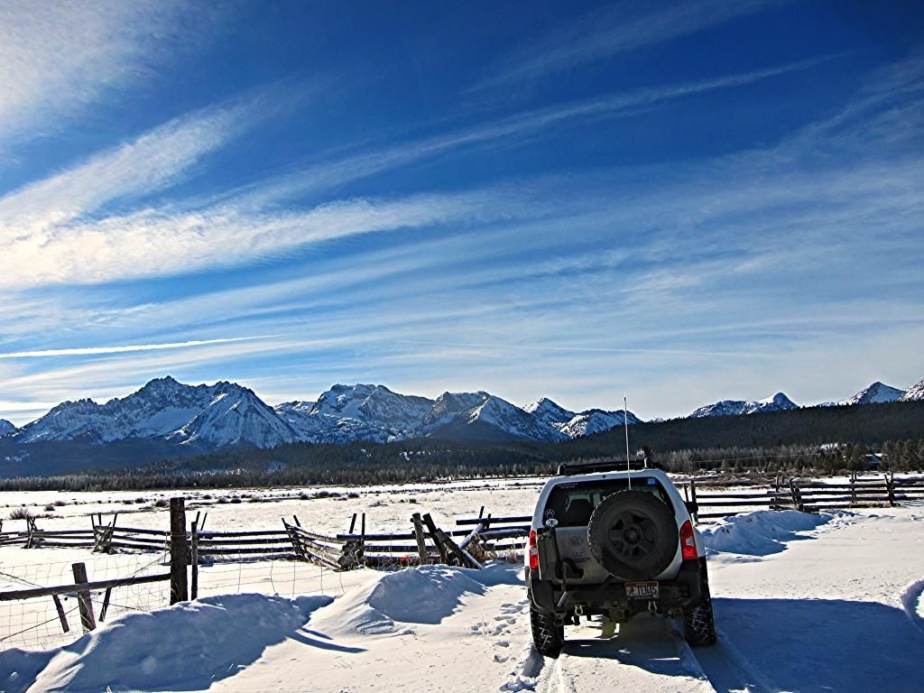
More fun in the mountains. This time in the Boise foothills with my off road club.

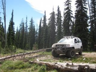
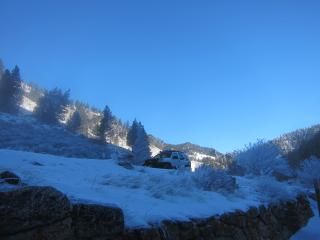
This pic was taken by a member, Mark. Amazing photographer.
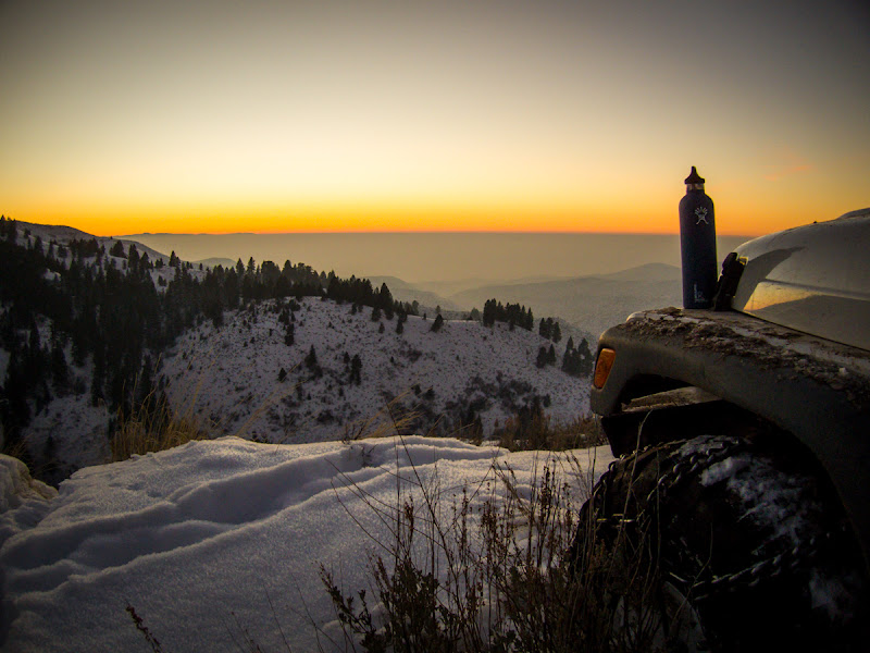
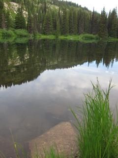
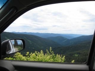
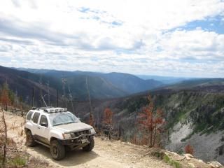
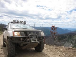
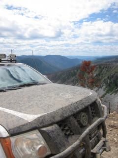
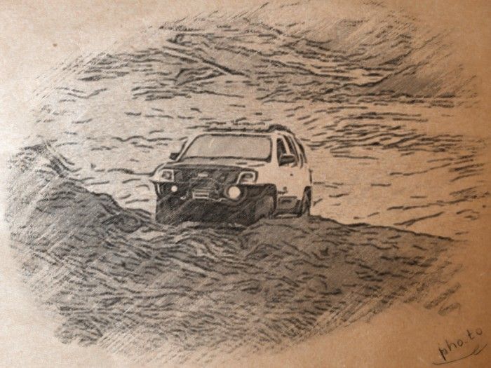
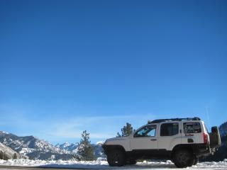
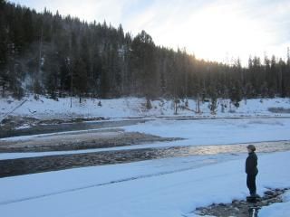
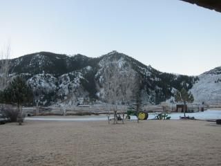
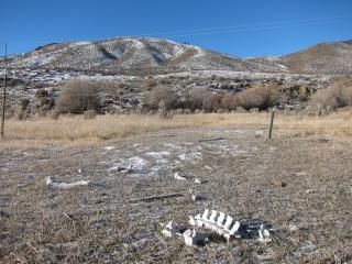
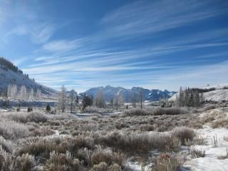
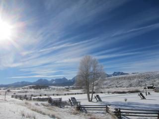
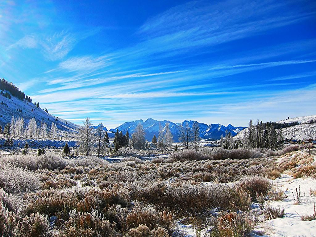
Same spot during day.

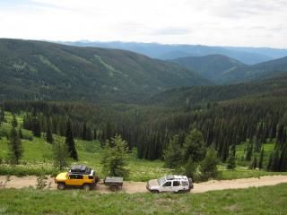
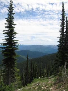
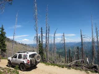
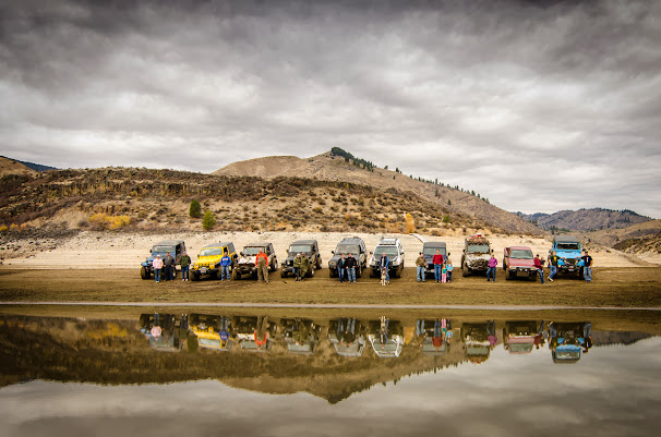
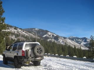
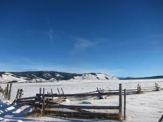
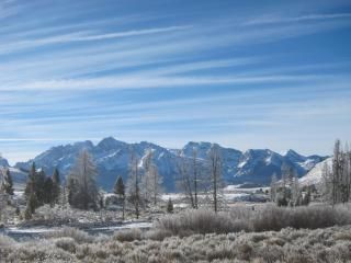
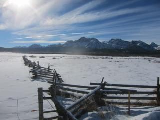
Overlook from spot. (Day)

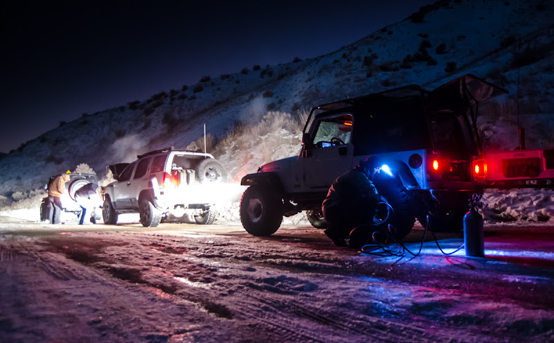
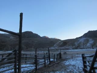
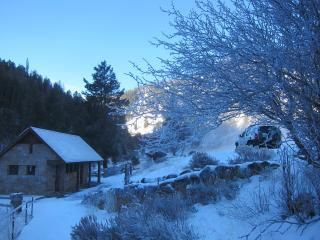
(Dusk)

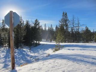
Snow was fairly deep.


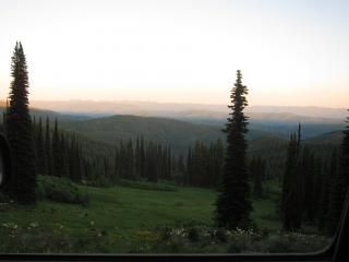
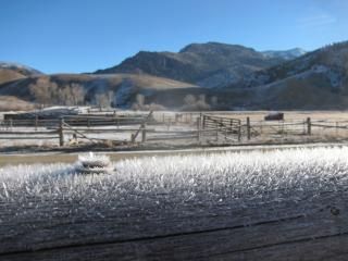
Sunset.


Videos:
Going up 1st part of mtn
[video=youtube_share;ngN4GHjANAE]http://youtu.be/ngN4GHjANAE[/video]
Going down 2nd part of mtn
[video=youtube_share;OfXuJE3XRvM]http://youtu.be/OfXuJE3XRvM[/video]
Going down 1st part of mtn at night
[video=youtube_share;w-MVHZ9CzLE]http://youtu.be/w-MVHZ9CzLE[/video]
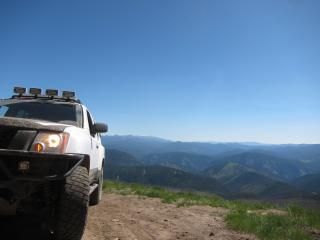
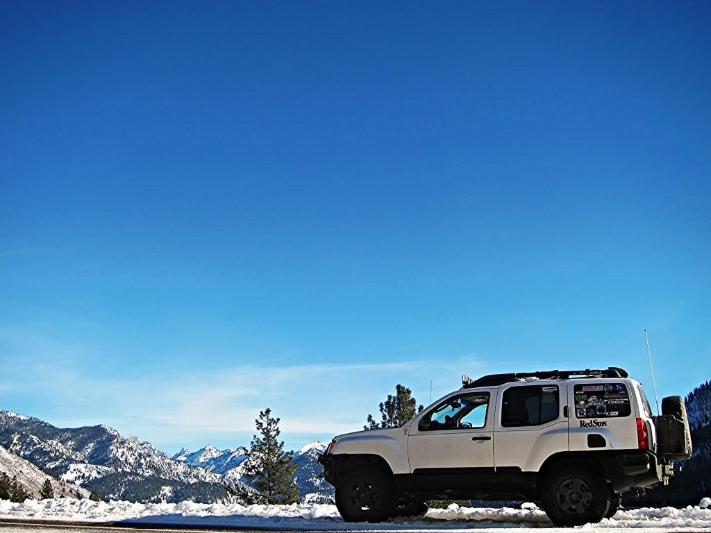
More fun in the mountains. This time in the Boise foothills with my off road club.
This pic was taken by a member, Mark. Amazing photographer.
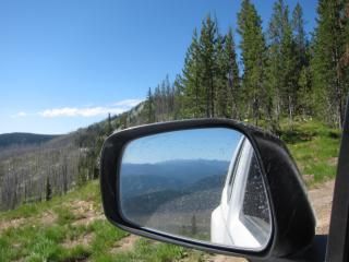
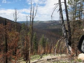
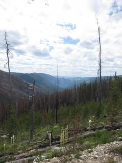
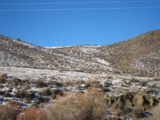
Same spot during day.
Overlook from spot. (Day)
(Dusk)
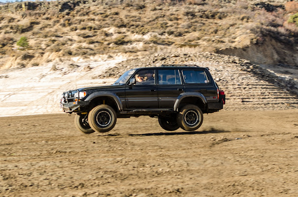
Snow was fairly deep.
Sunset.
Videos:
Going up 1st part of mtn
[video=youtube_share;ngN4GHjANAE]http://youtu.be/ngN4GHjANAE[/video]
Going down 2nd part of mtn
[video=youtube_share;OfXuJE3XRvM]http://youtu.be/OfXuJE3XRvM[/video]
Going down 1st part of mtn at night
[video=youtube_share;w-MVHZ9CzLE]http://youtu.be/w-MVHZ9CzLE[/video]
Last edited: